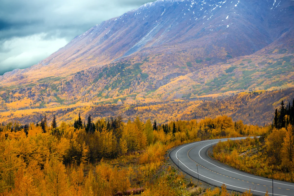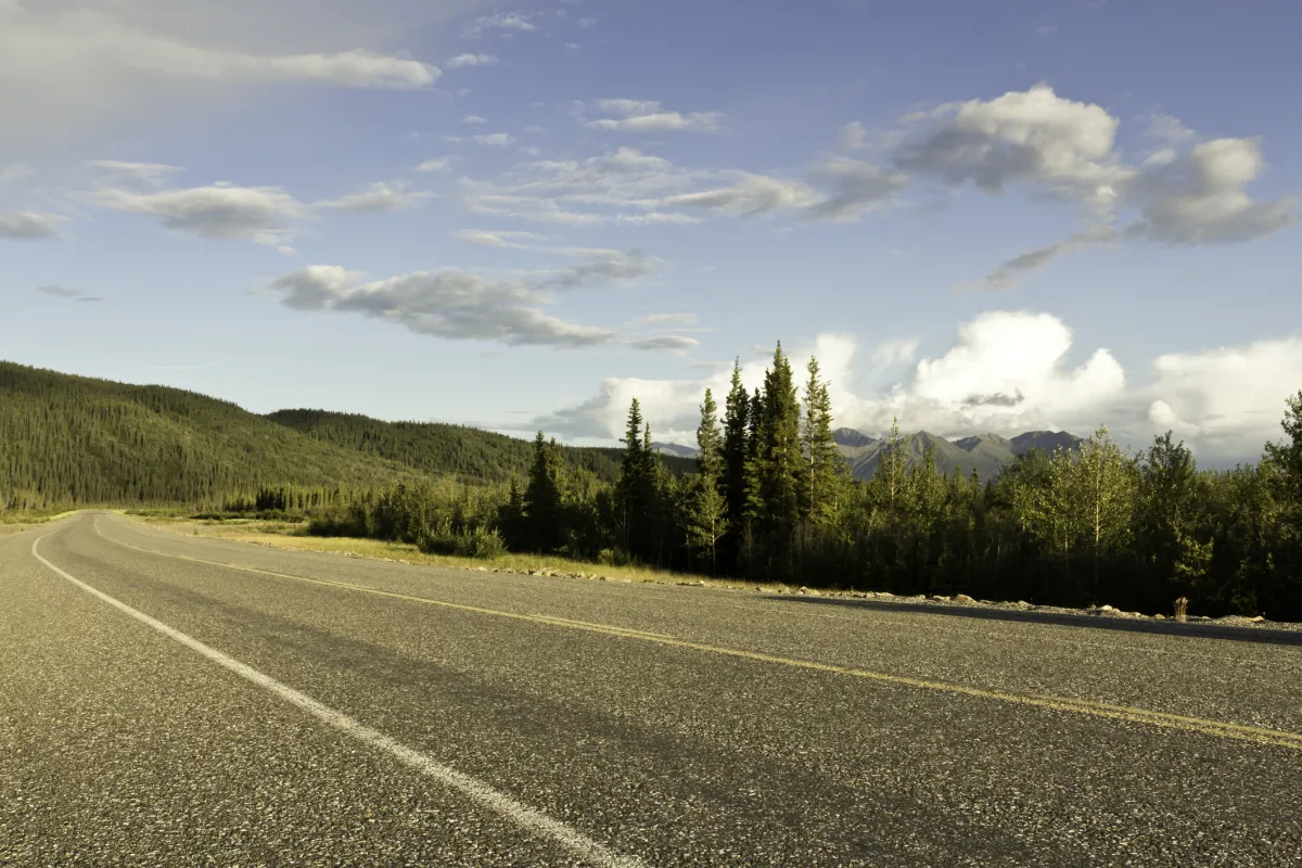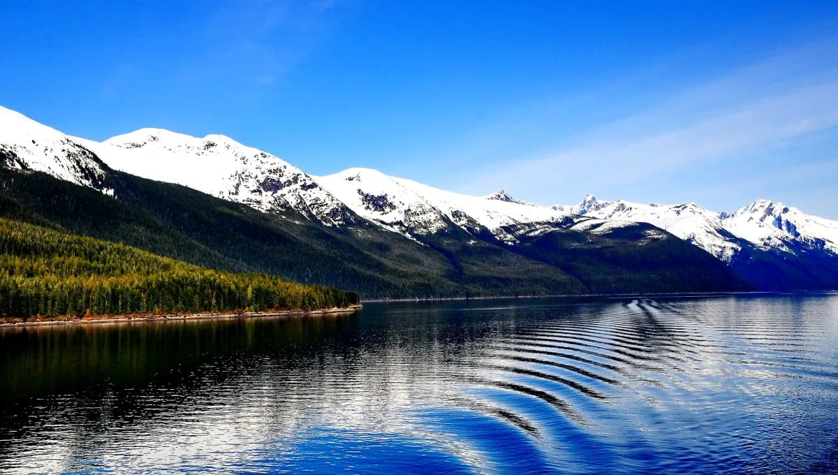
The journey to Alaska by road epitomizes the essence of adventure and discovery. Choosing to drive to this northernmost U.S. state, particularly via the Alaska Highway, is not merely about reaching a destination; it's about embarking on a journey through some of the most spectacular landscapes in North America.
This route is a great way to save on costs related to renting a car in Alaska and allows travelers to immerse themselves in the breathtaking natural beauty and unique wildlife of the region. While this is not the fastest way to reach Alaska, it will allow you the opportunity to explore more along the way and truly get off the beaten path.
Welcome to the Alaska Highway

The Alaska Highway, also known as the Alcan Highway, is steeped in an intricate history of international relations. Spanning approximately 2,232 km (1,387 miles) from Dawson Creek in British Columbia, through the Yukon, and ending in Delta Junction in Alaska, the Alaska Highway is one of most widely used roads to access when driving from the contiguous United States (known as the “Lower 48”) to the Last Frontier.
After Delta Junction, travelers have the option to drive via the Richardson Highway, which leads to Fairbanks, or the Glenn Highway to Anchorage. Travelers also have the opportunity to take side trips along the way to visit Skagway or Haines.
The Alaska Highway was initially built as a military project during World War II, after the attack on Pearl Harbor. The urgency to establish a land connection between the lower 48 states and Alaska was paramount for defense purposes, leading to the creation of this monumental roadway. For years, the highway was a rough dirt road that was replaced with gravel. Today, the Alaska Highway is a mix of paved road and gravel sections that can be in varying conditions depending on the season and road maintenance schedule.
Every year, travelers make their way up this famed route, either in RVs, vans, 4x4s, or cars. They spend a whirlwind few days making the long trek or plan out weeks of leisurely travel to enjoy the many sights along the way. How you plan on traversing this amazing journey will vastly depend on your timeline and budget, but there is a lot of flexibility on the road to the far north.
Planning Your Route: From Seattle to Alaska on the Alaska Highway

This itinerary is planned with a start in Seattle, Washington, with an overall distance of 2,700 miles for a one-way trip.
Seattle to Dawson Creek: The Starting Point
Distance: Approximately 800 miles
Route: I-5 N and BC-97 N
Highlights: This stretch is a scenic introduction, leading you through the diverse landscapes of Washington and British Columbia. Take time to enjoy the urban landscapes of Seattle before transitioning into the serene wilderness.
Dawson Creek to Fort Nelson
Distance: About 283 miles
Highlights: Dawson Creek, known as "Mile 0" of the Alaska Highway, is where your adventure truly begins. Visit the Alaska Highway House for historical insights. The drive to Fort Nelson winds through the Peace River Valley with opportunities for wildlife viewing.
Fort Nelson to Watson Lake
Distance: Roughly 320 miles
Highlights: This segment takes you through the Northern Rockies, offering dramatic mountain views. The Muncho Lake Provincial Park is a great stop for hiking and wildlife photography. Don't miss the Liard River Hot Springs for a relaxing soak.
Watson Lake to Whitehorse
Distance: Approximately 273 miles
Highlights: Watson Lake is famous for its Sign Post Forest, a quirky collection of signs from around the globe. The journey to Whitehorse is filled with picturesque lakes and rivers, perfect for nature enthusiasts. Whitehorse, as the capital of Yukon, offers a blend of culture, history, and outdoor activities.
Whitehorse to Tok
Distance: About 386 miles
Highlights: From Whitehorse, you'll travel through vast wilderness areas and cross into Alaska at the U.S. border near Tok. This leg offers expansive views and chances to spot wildlife. In Tok, learn about local history and culture.
Tok to Anchorage
Distance: Roughly 318 miles
Highlights: The drive to Anchorage offers a diverse landscape, including views of the Wrangell Mountains. Stop at Matanuska Glacier for a unique experience. Anchorage itself is a hub of culture, dining, and outdoor adventures.
Tok to Fairbanks
Alternative Destination Distance: About 200 miles
Highlights: If you choose Fairbanks over Anchorage, this shorter route leads through the heart of Alaska's interior. Fairbanks offers a range of attractions, from the University of Alaska Museum of the North to the Chena Hot Springs.
Essential Tips for a Safe and Enjoyable Drive
- Travel Timing: Summer is ideal, offering better road conditions, more services, and extended daylight.
- Road Awareness: Prepare for slower speeds due to frequent potholes and frost heaves, particularly north of Whitehorse.
- Vehicle Preparedness: A full-size spare tire is a must, and carrying Canadian cash is wise due to potential internet issues.
- Journey Duration: Plan for at least 7 days to fully enjoy the sights without rushing.
- Connectivity: Cell service is patchy, and hotel Wi-Fi can be slow.
- Fuel Strategy: Regularly refuel and avoid letting your tank fall below half.
- Food and Supplies: Stock up on groceries, especially if you have specific dietary needs, as selections can be limited in remote areas.
- Wildlife Precautions: Be extremely cautious of wildlife crossings, especially at night, to ensure your safety and the safety of the animals.
Resources for Your Trip
The MilePost: This annual guide is essential for detailed information on the Alaska Highway, including maps, points of interest, lodging, and camping options. It's widely recognized as the bible for Alaska Highway travelers.
Road Condition Updates
- 511 Alaska: This service provides current road and travel conditions. It's available online and via phone.
- BC and Yukon Road Reports: For updates on road conditions in British Columbia and Yukon.
Digital Maps
- Google Maps: Download offline maps of the areas you'll be traveling through. This can be a lifesaver in areas with no cell service.
- GPS Navigation Systems: Consider a reliable GPS device with preloaded maps for remote areas.
Travel Apps and Websites
- GasBuddy: Helps locate gas stations and compare fuel prices.
- iOverlander: A resource for finding campgrounds, hostels, and other amenities.
- Weather Apps: Stay updated on the weather conditions.
Emergency Services
- Keep a list of emergency contacts for the regions you'll be traveling through.
- Satellite Phone or Beacon: In very remote areas, consider carrying a satellite phone or an emergency beacon for safety.
Local Visitor Centers
- Utilize visitor centers in towns along the Alaska Highway for local maps, advice, and up-to-date information on attractions and road conditions.
Social Media and Forums:
- Join online communities or forums of travelers who have done the drive. They can offer firsthand tips and recent experiences. Check out the Facebook group “Driving the Alcan – Alaska Canadian Highway” or “RVing the Alaska Highway”.

